Subsurface Utility Locating and GPR Survey Downtown Memphis
March 2026
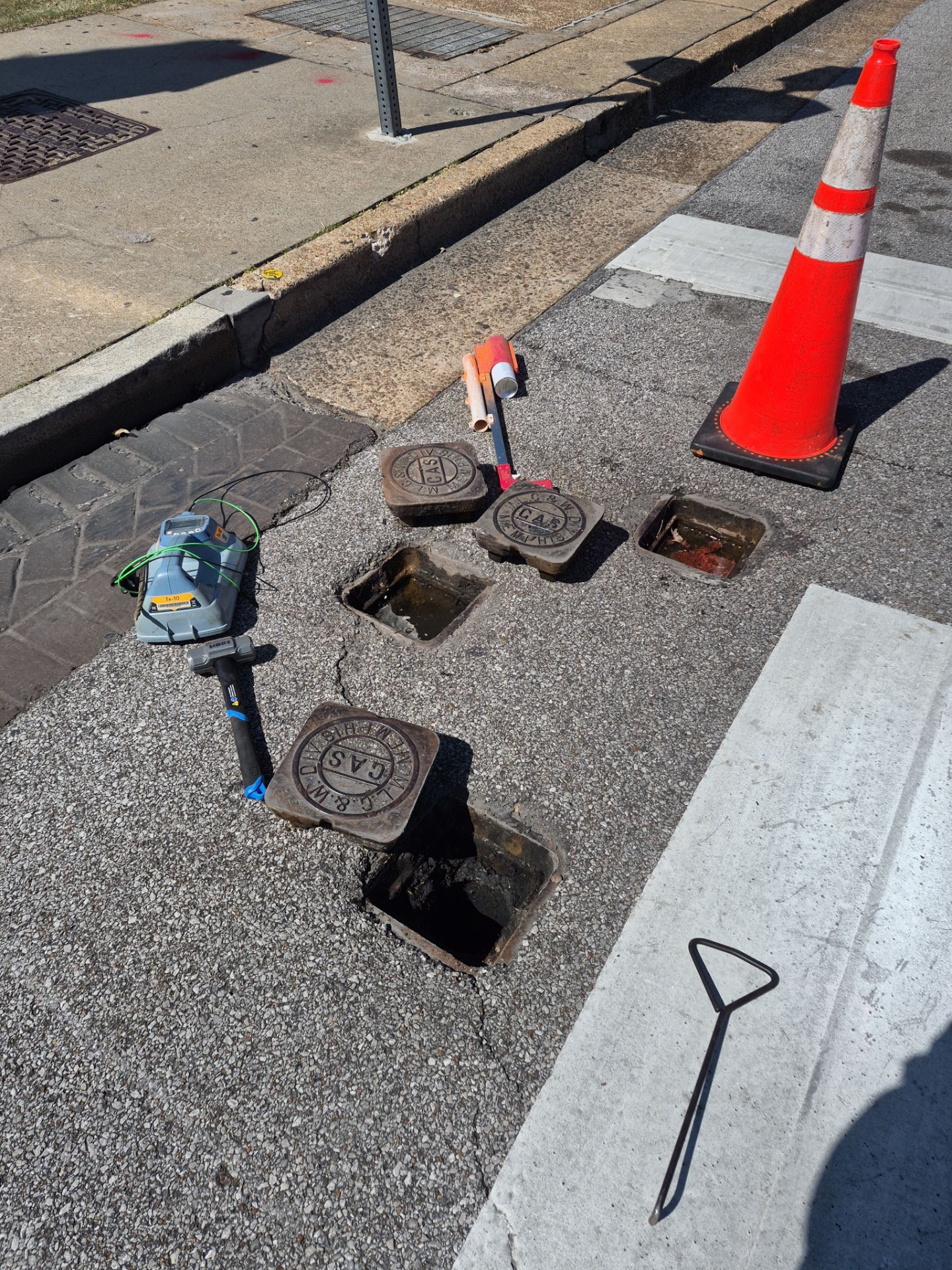
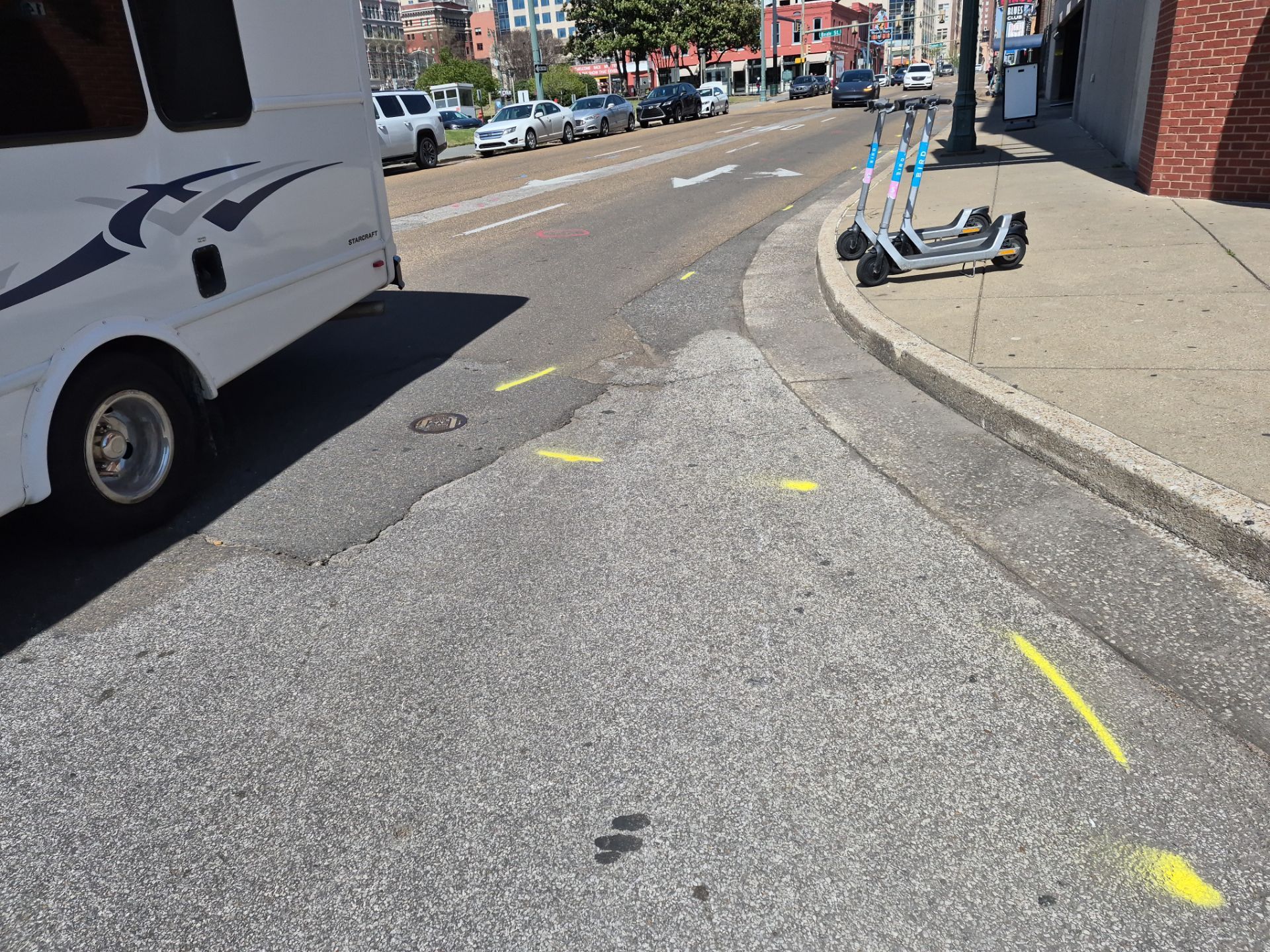
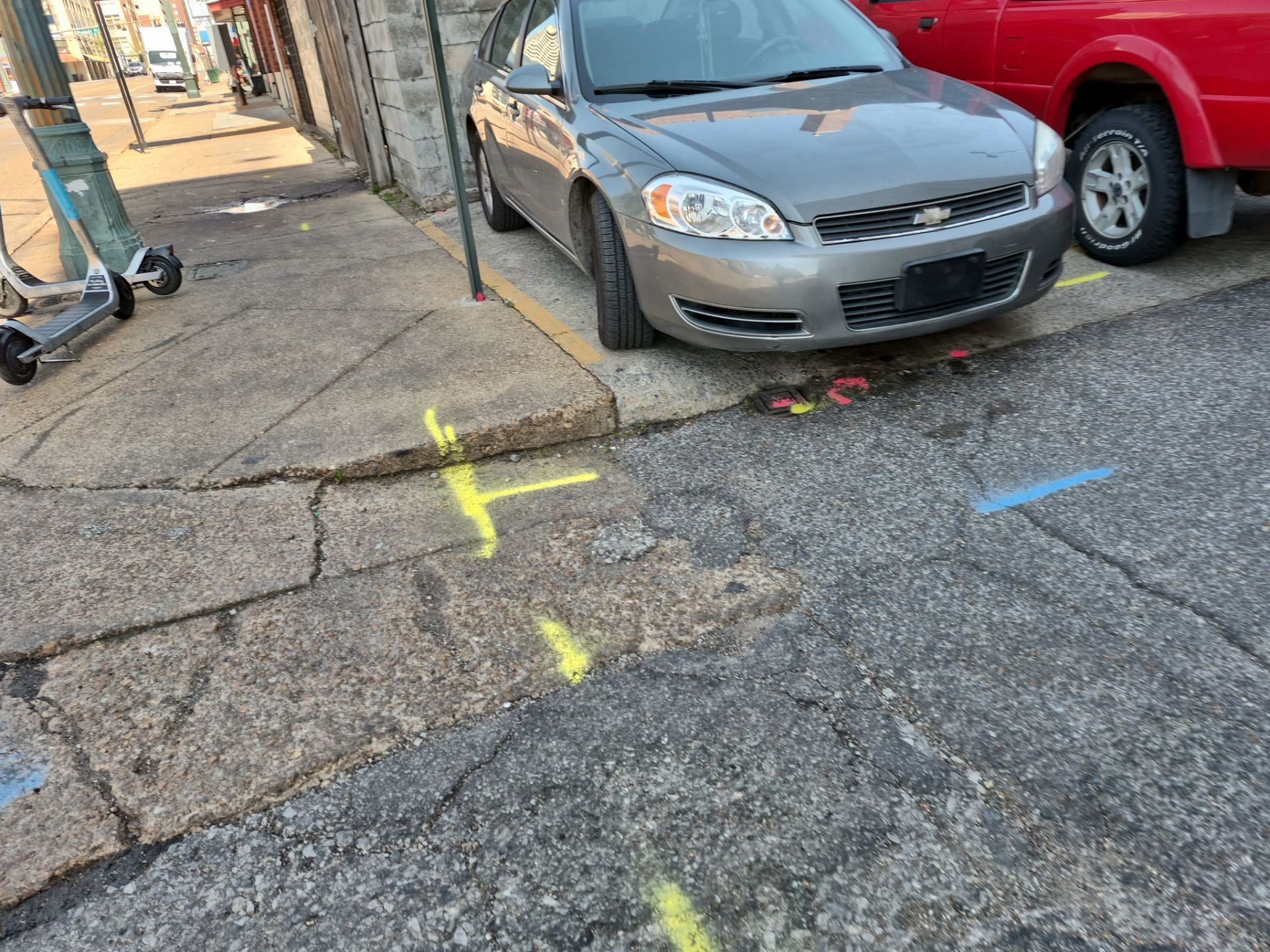
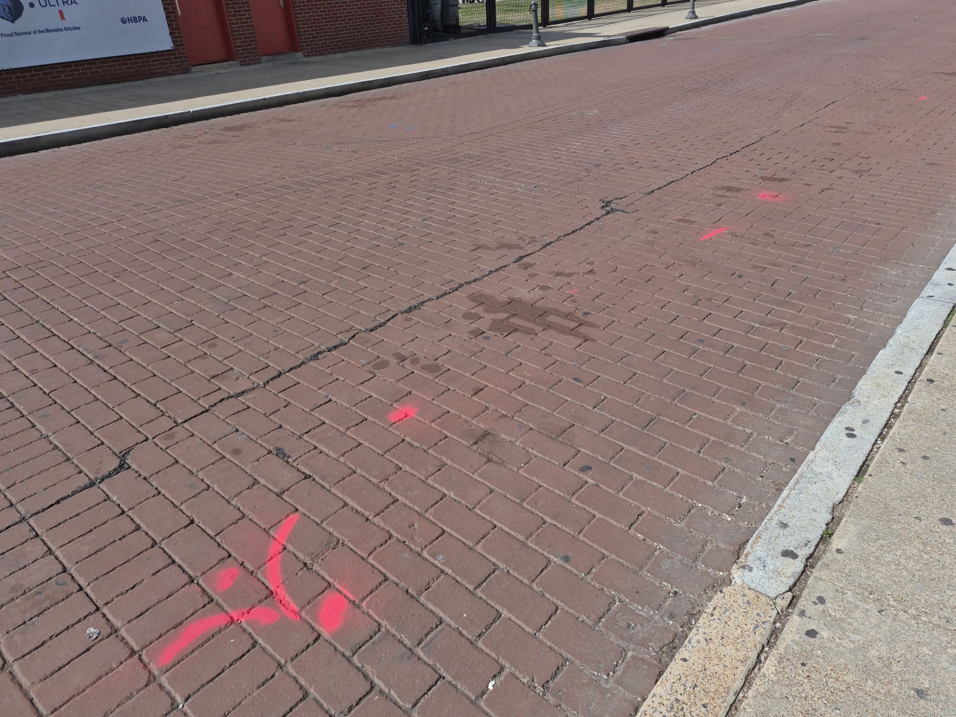
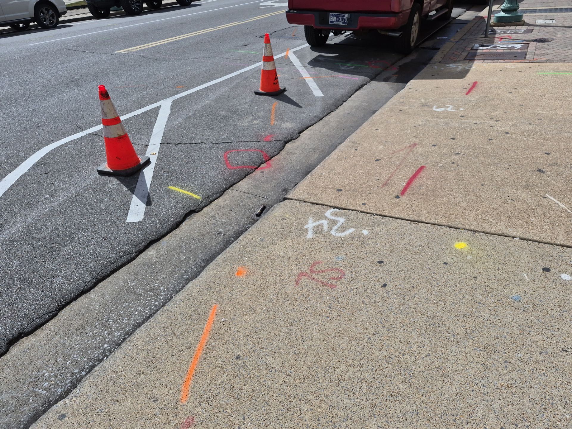
We performed a comprehensive utility locate and ground-penetrating radar (GPR) scan in the urban area surrounding the downtown district. Our team accessed various manhole structures and utility vaults to verify underground infrastructure and pipe positioning. We identified and marked several utility lines to support upcoming survey and construction activities. Using specialized GPR equipment and manhole induction tools, we documented the condition of concrete shafts, metal manholes, and drainage systems. We applied color-coded surface markings across asphalt streets and concrete sidewalks to clearly designate subterranean paths. This precise mapping provided the data necessary for safe excavation and project planning.
Utility Locating
Subsurface Utility Locating and GPR Survey Downtown Memphis