Utility Locating and GPR Mapping at Memphis Commercial Center
February 2026
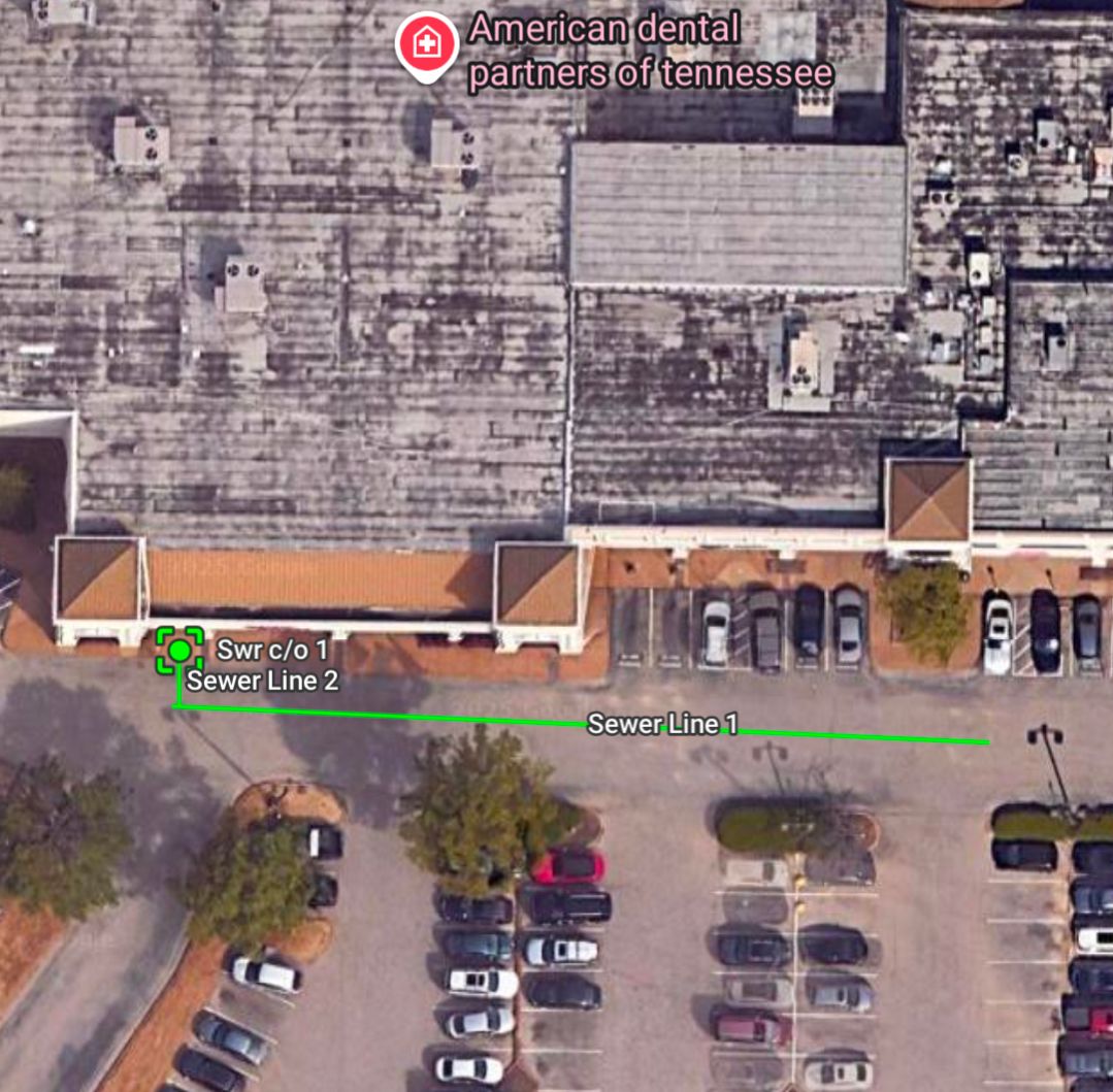
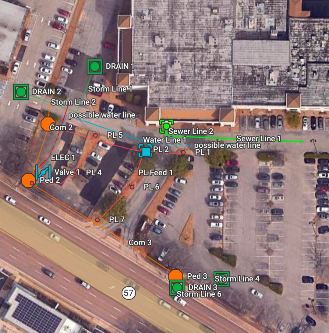
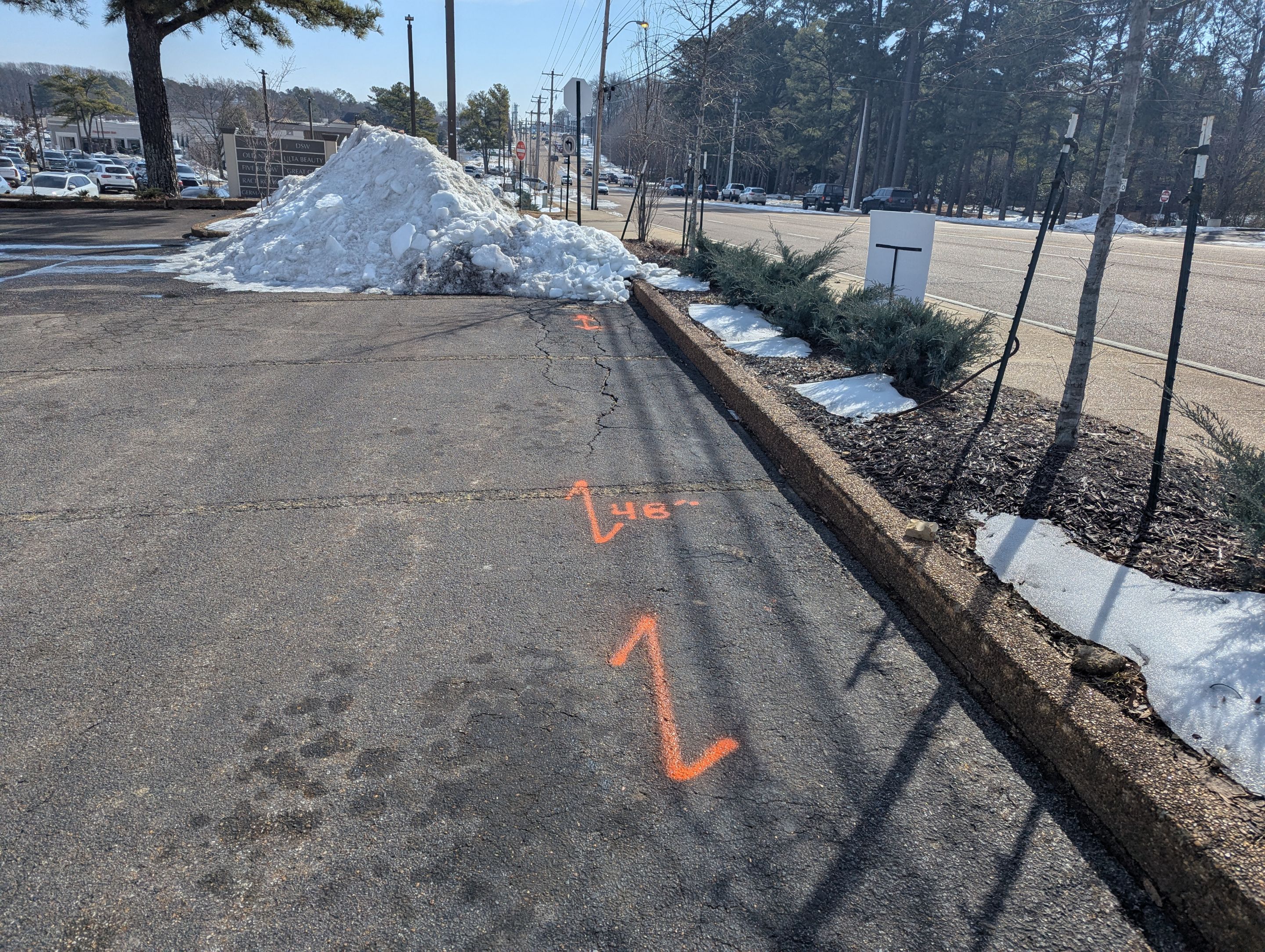
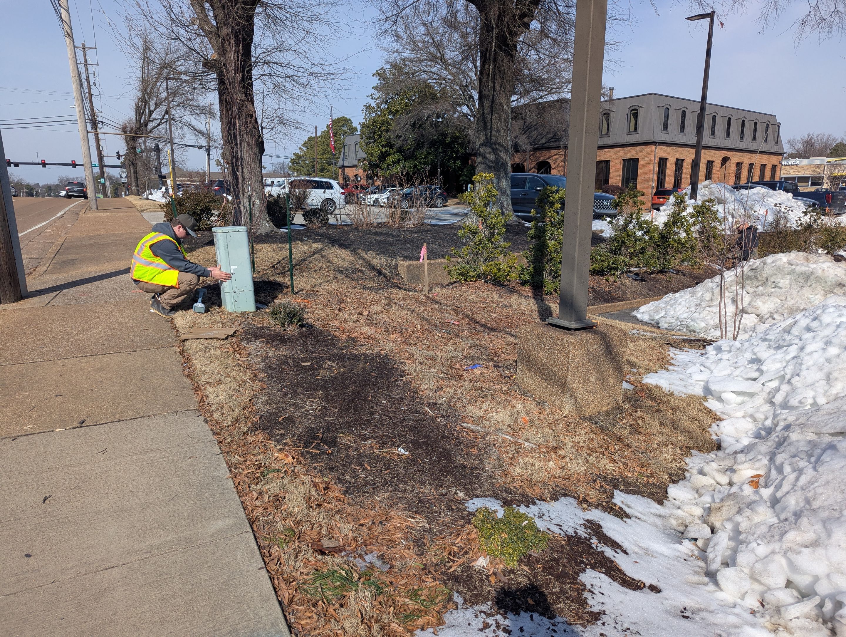
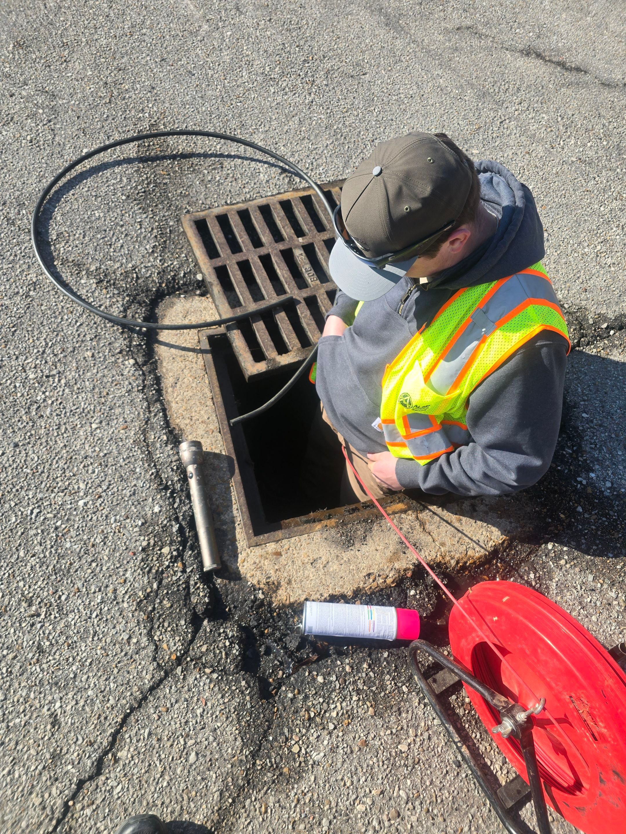
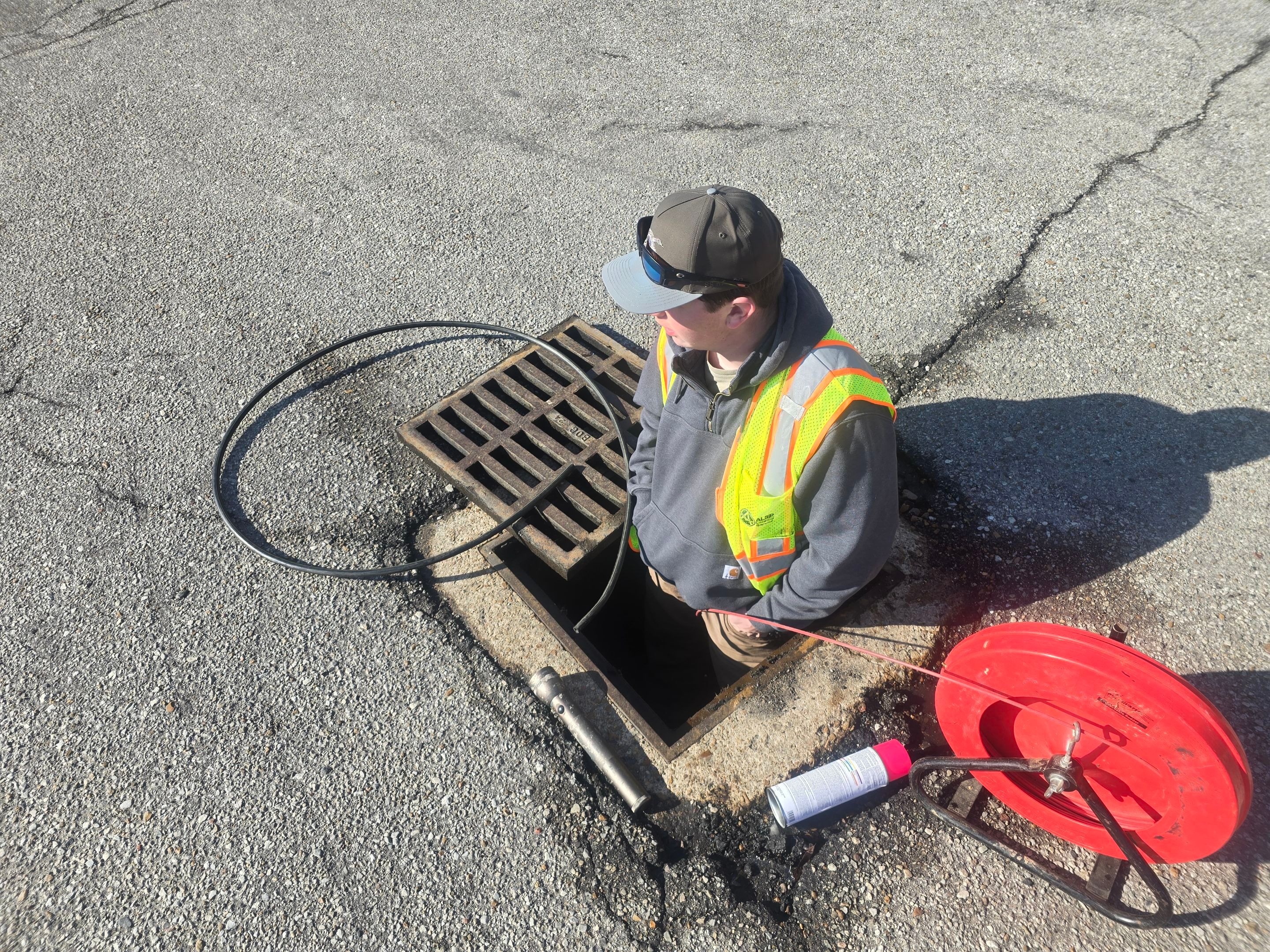
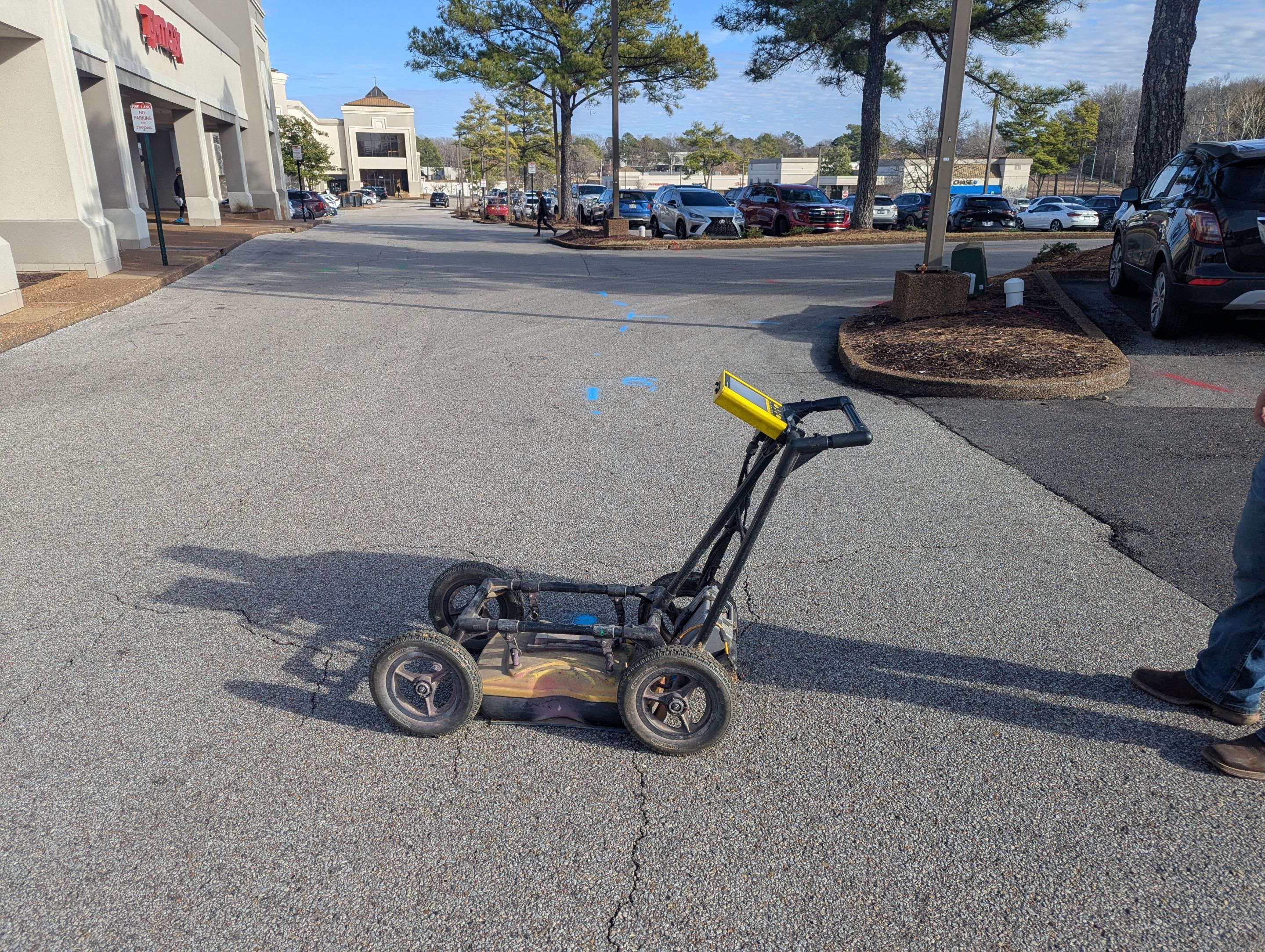
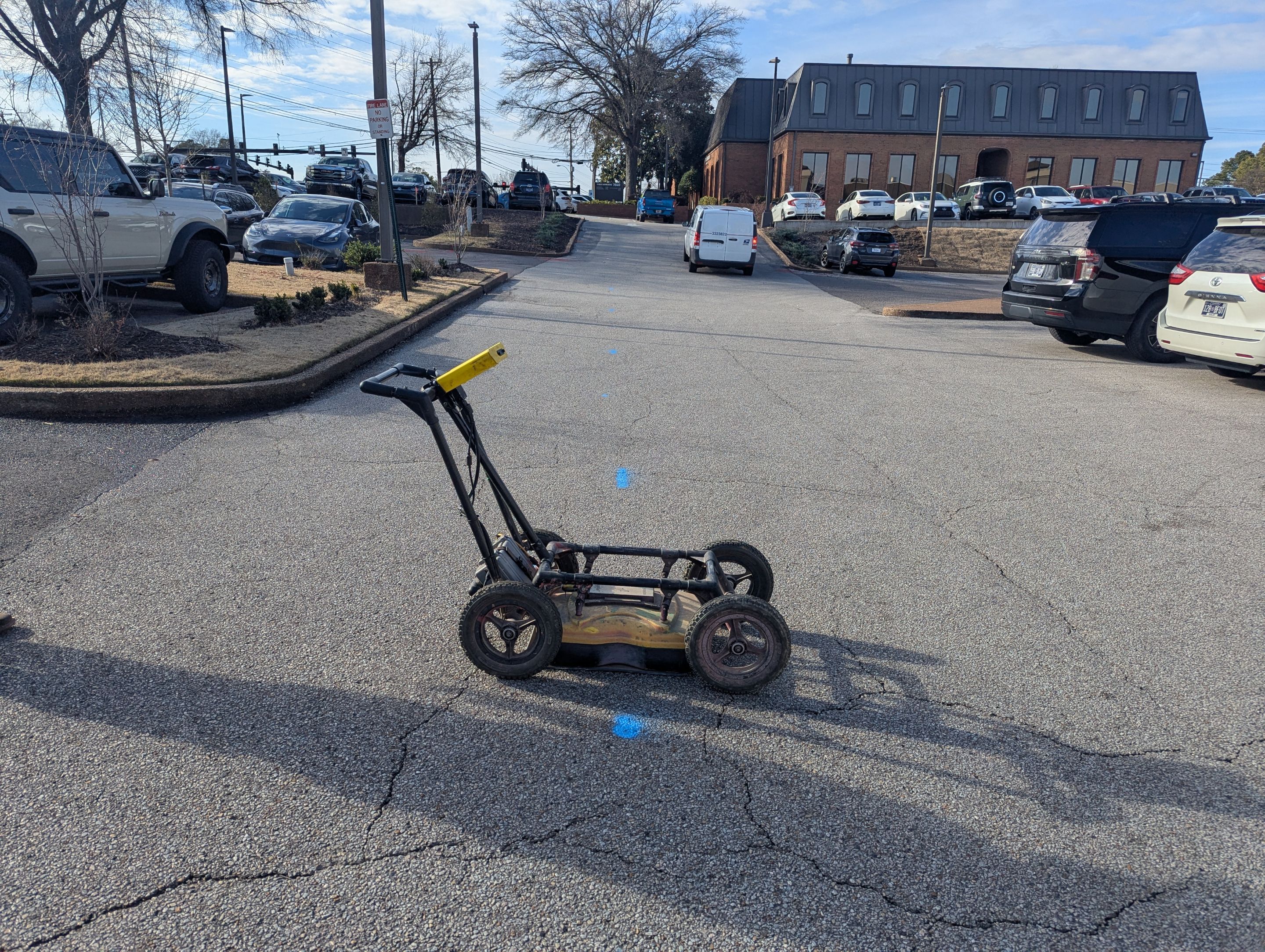
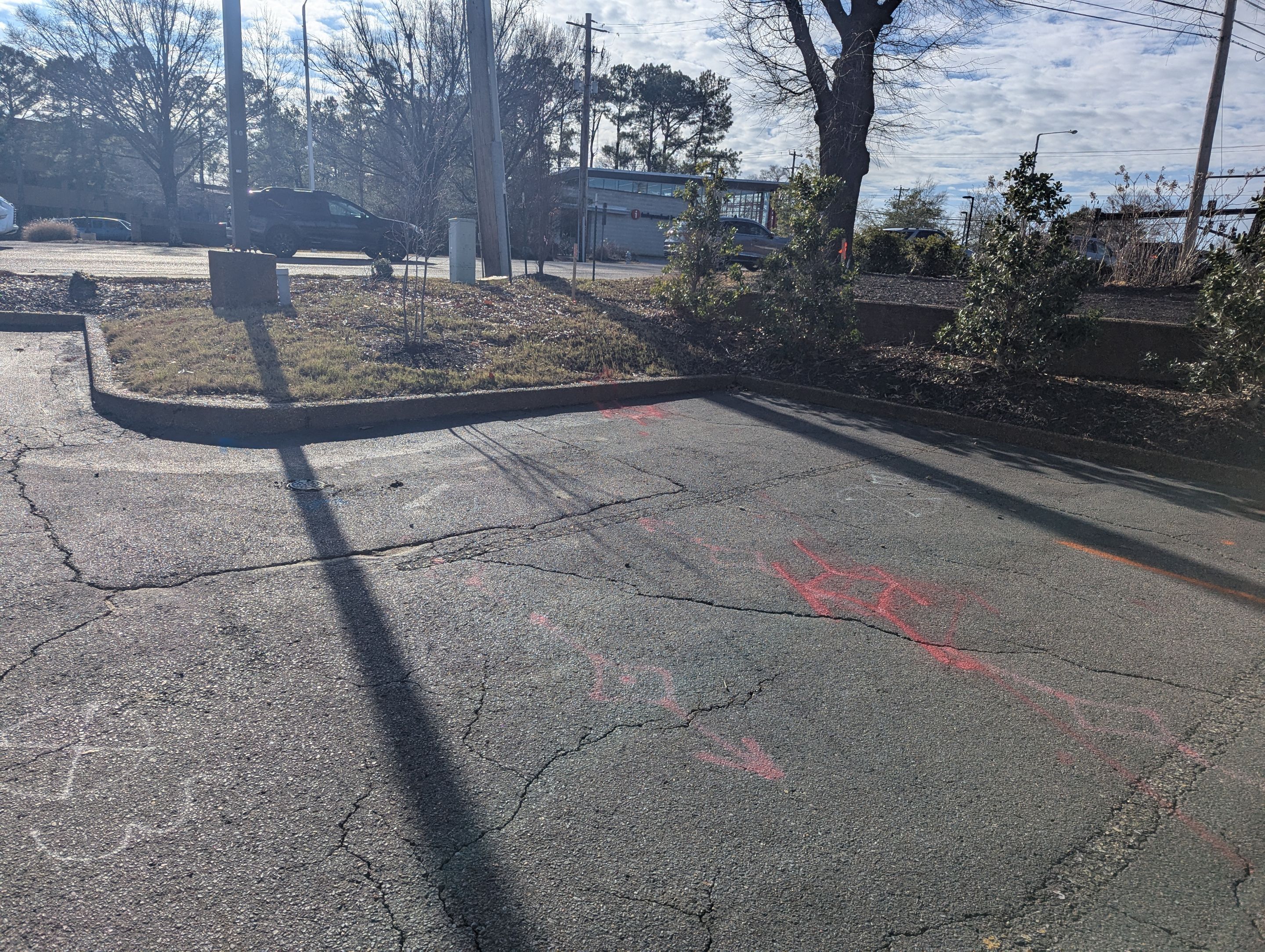
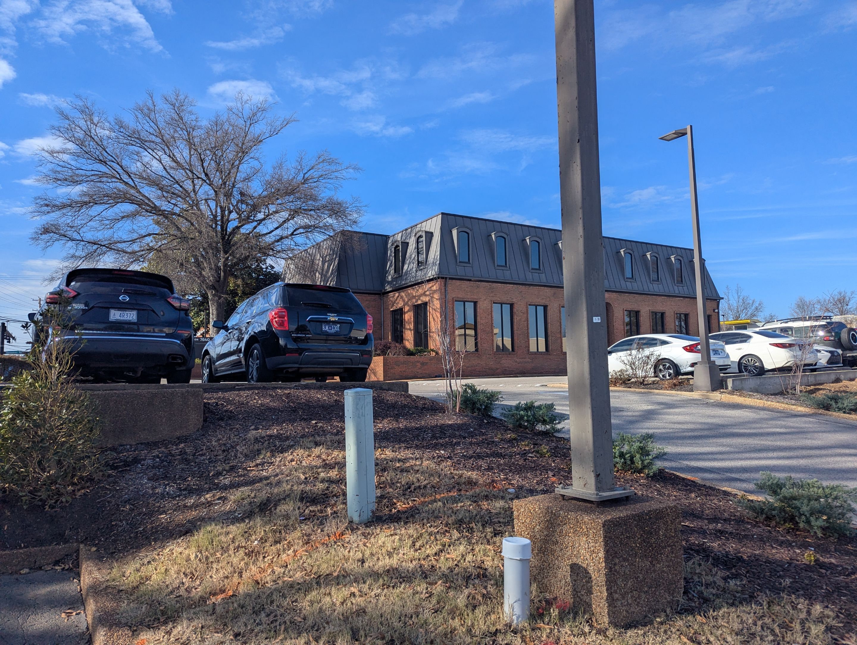
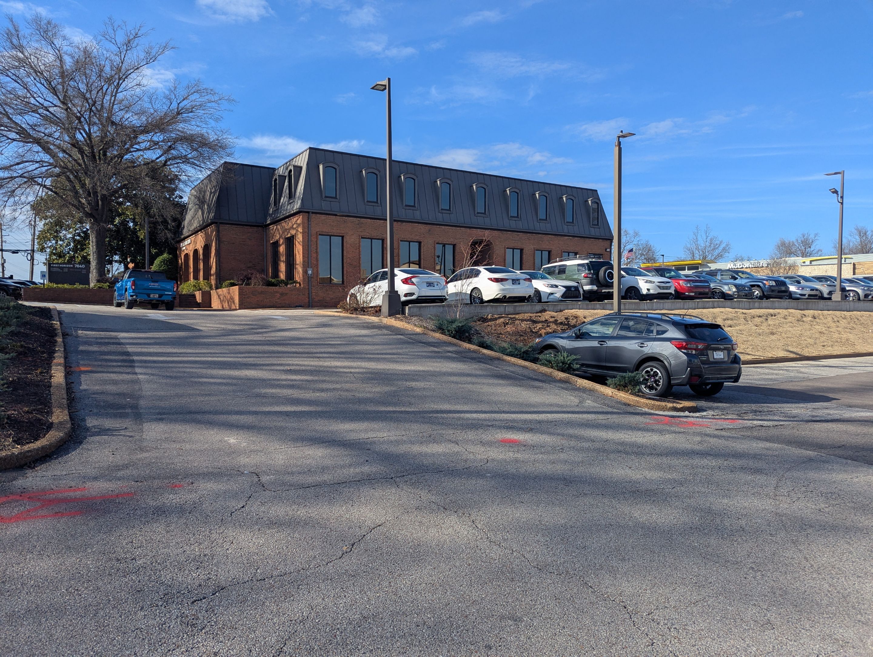
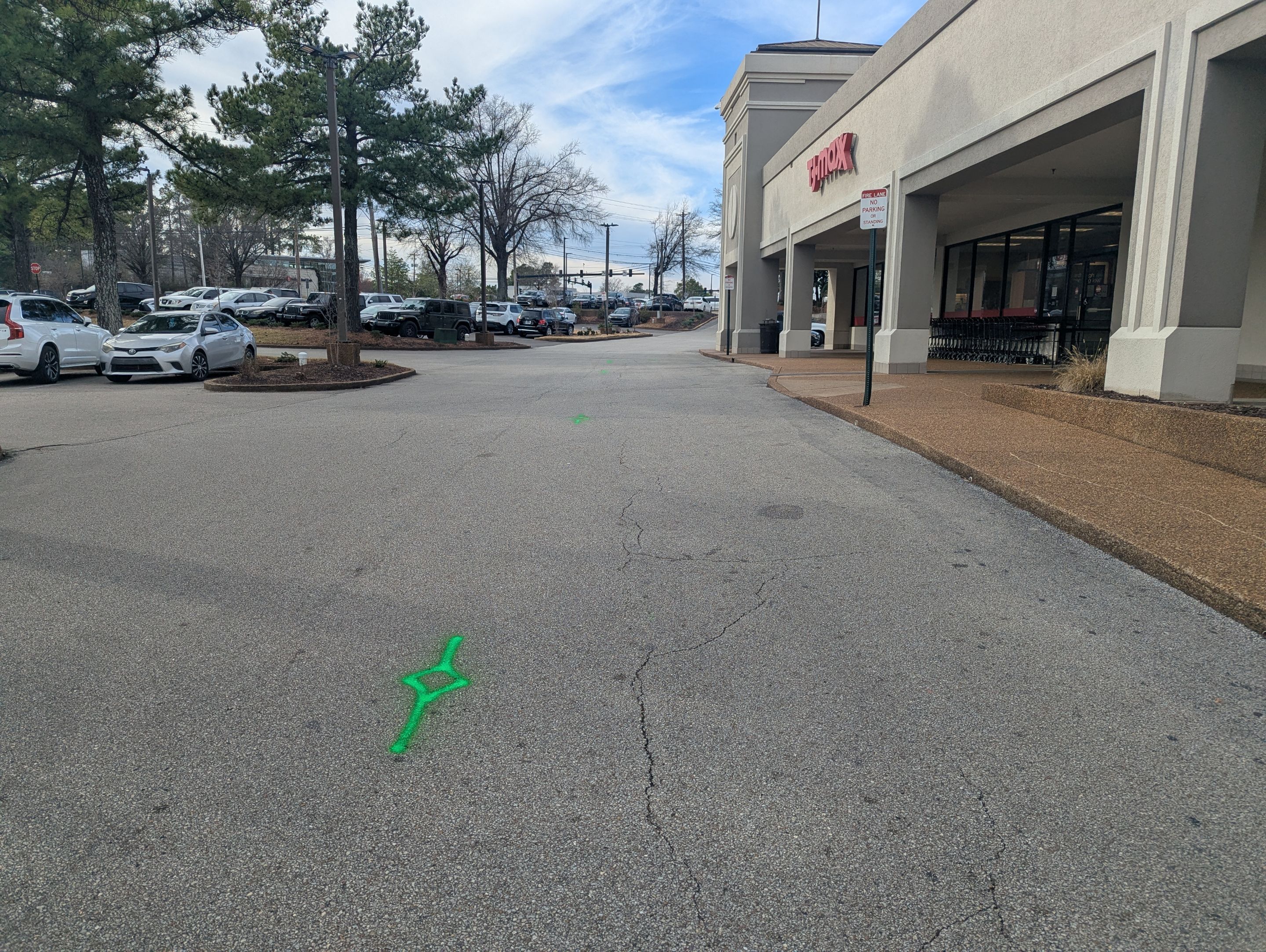
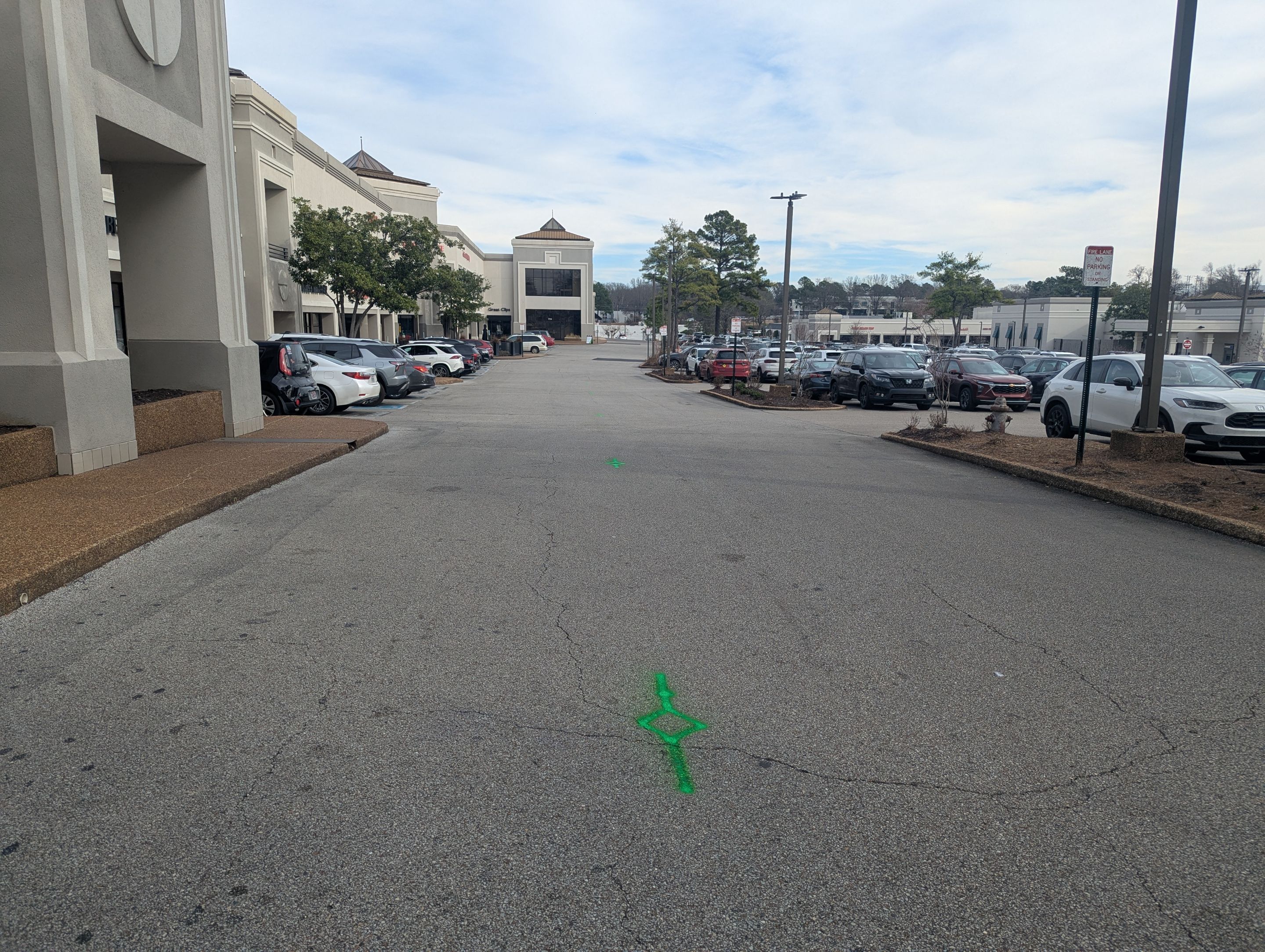
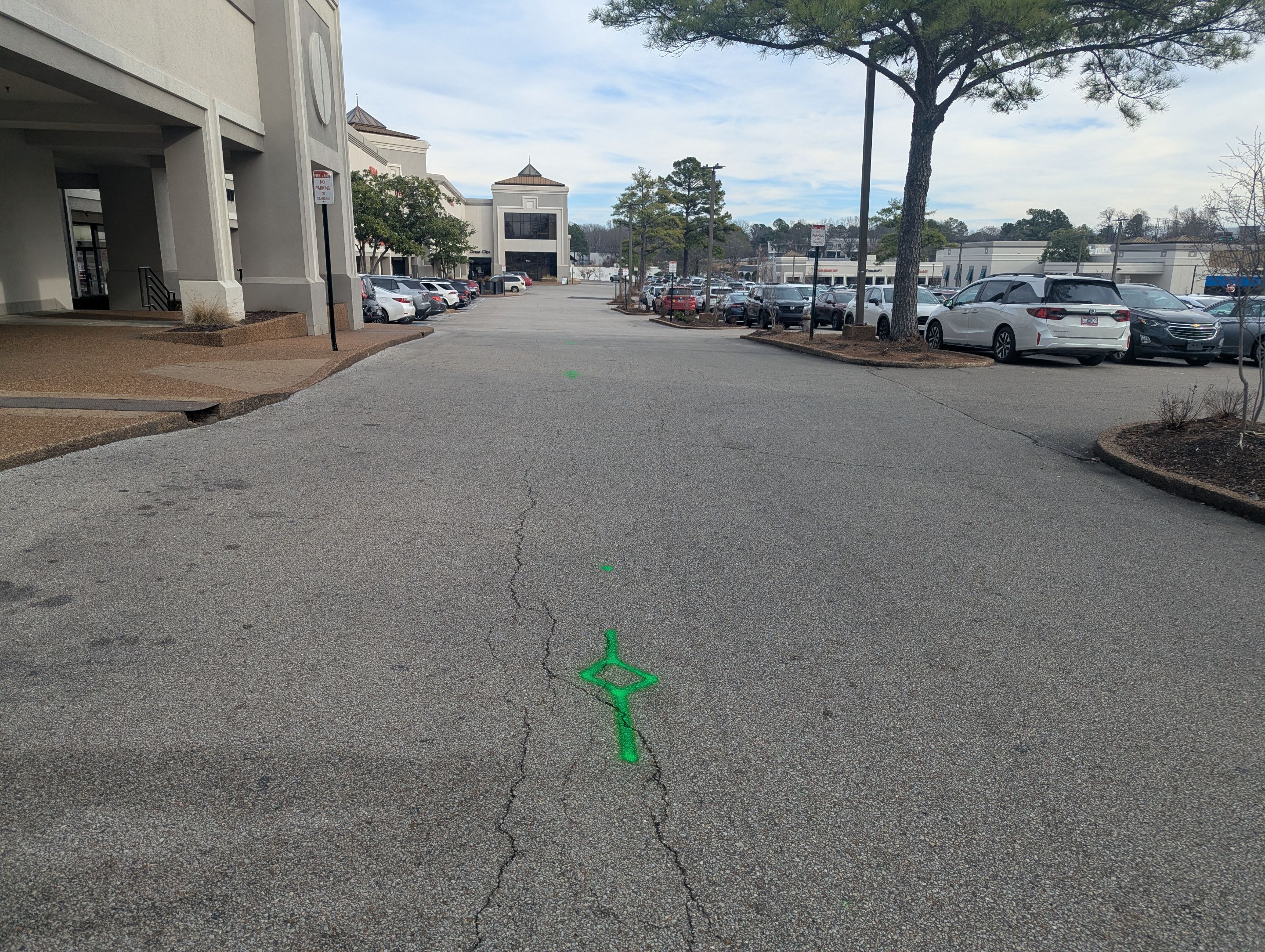
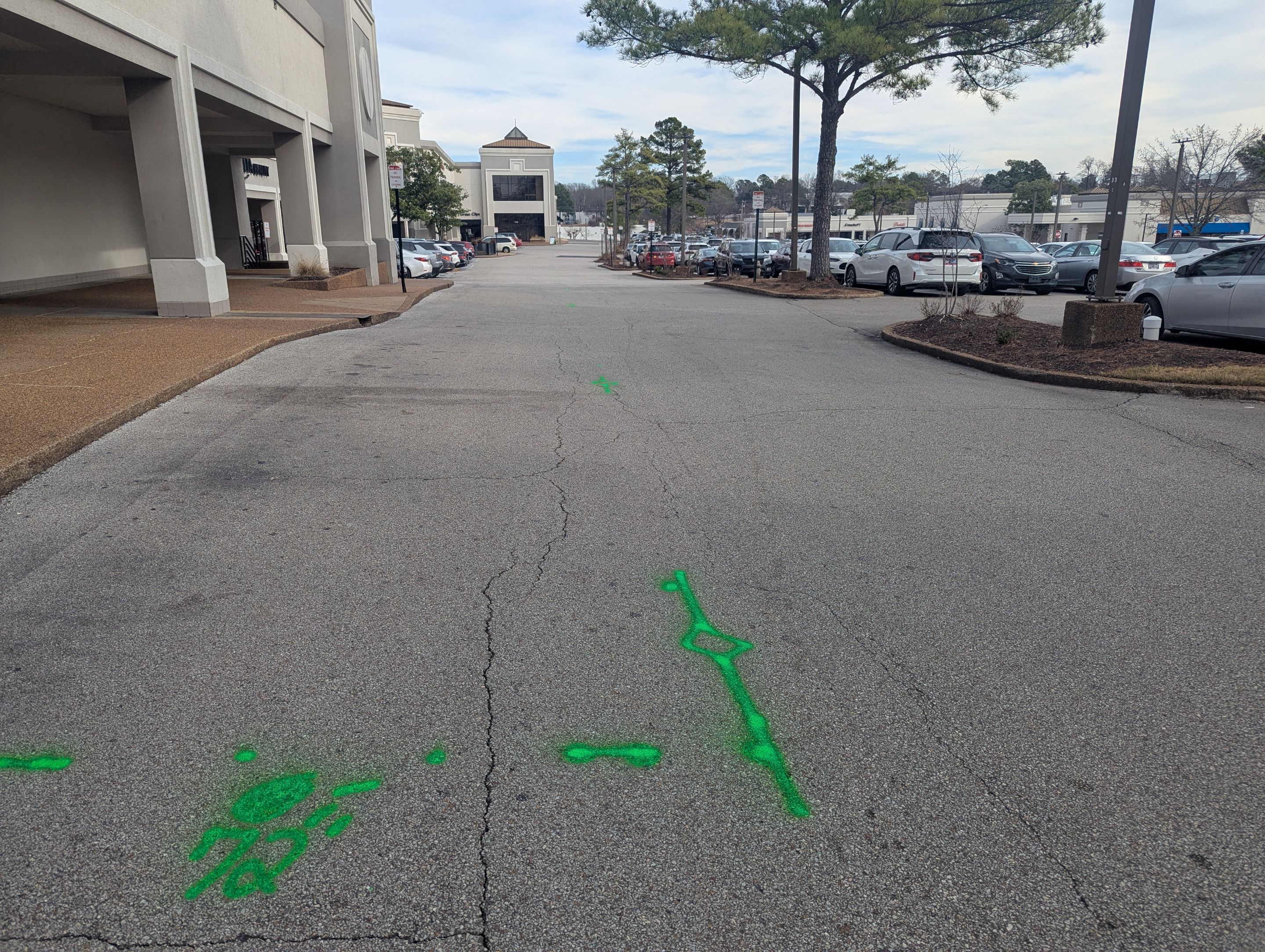
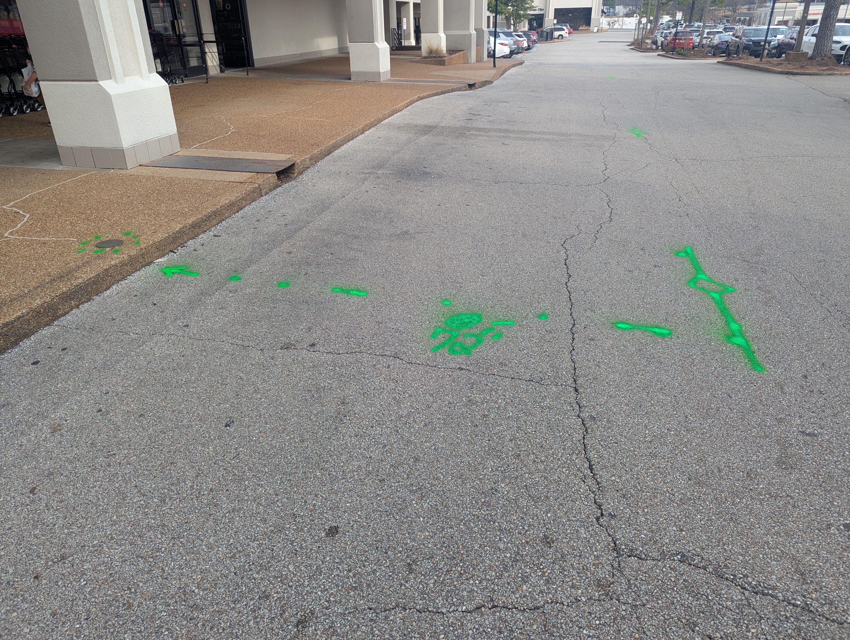
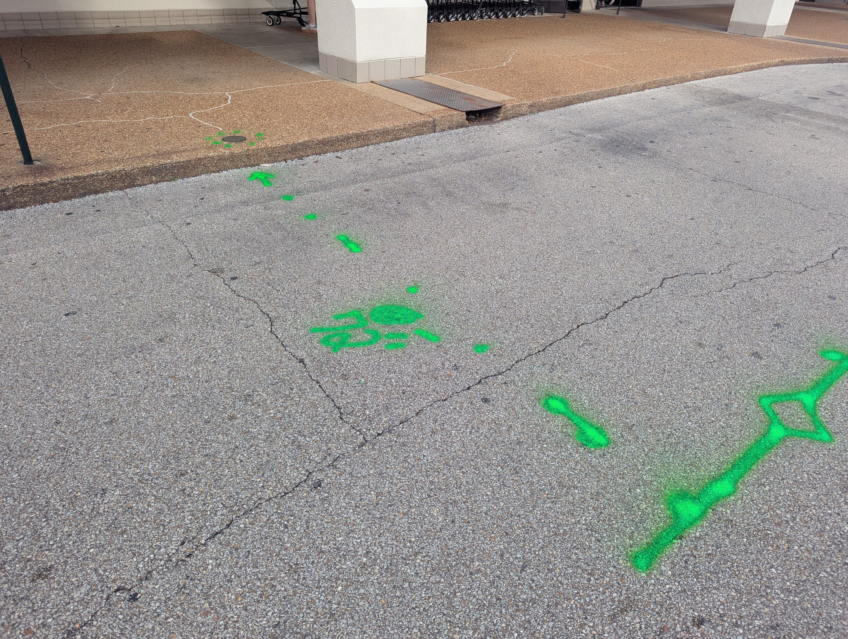
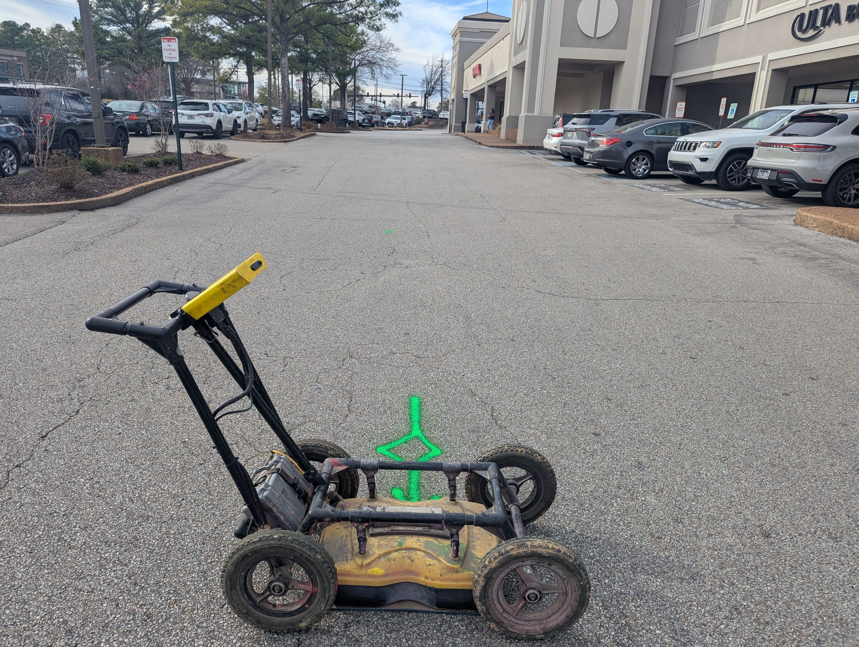
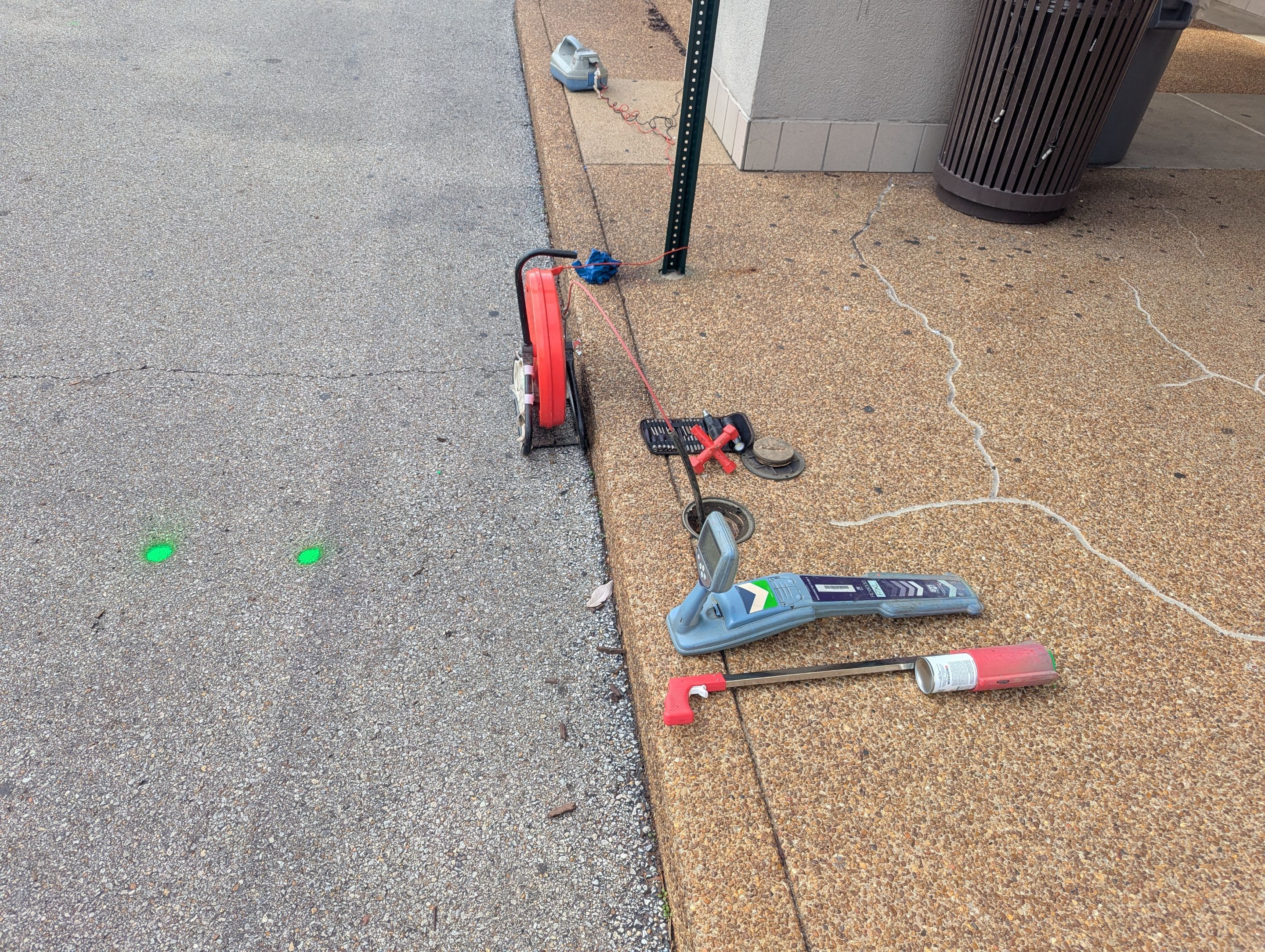
We performed a comprehensive utility locating and mapping project for a commercial retail development in Memphis. We used ground penetrating radar technology to identify and mark various underground infrastructure across the asphalt parking lot and landscaped areas. Our team meticulously scanned the site to ensure all critical utility lines were precisely located. We identified and marked water lines, sewer lines, and electrical paths using standardized color-coded paint. Our process combined ground-level GPR data with aerial mapping to provide a complete overview of the site’s infrastructure, including valves and specific utility markers. These digital annotations and physical markings provided a reliable layout of subsurface utilities to facilitate safe maintenance and future planning.
Utility Locating
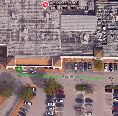
Utility Locating and GPR Mapping at Memphis Commercial Center